How LGB cut downtime on Brandenburg's critical geodata services by over 90%

Challenge
- Emergency services, disaster response teams, and 110+ public authorities depend on LGB’s geodata services in mission-critical scenarios where downtime is not an option
- LGB’s public-facing geoportals stitch together dozens of interdependent map, search, and data services, meaning a single point of failure can cascade across the entire platform
- The EU INSPIRE directive mandates at least 99% availability for public geodata services, but for LGB the real bar is higher: when first responders rely on your maps, “99%” is a floor, not a target
Why Checkmk
- Unified monitoring of infrastructure and applications in a single platform
- Synthetic Monitoring catches issues that classic infrastructure checks miss by testing real user journeys
- Named test steps identify the failed component directly in the alert — root cause is visible immediately
Results
- Annual downtime on the map application "Brandenburg Viewer" reduced by ~92% — from 35 hours in 2012 to 2.6 hours in 2025
- Annual downtime on the map application "Geoportal Brandenburg" reduced by ~97% — from roughly 26 hours in 2012 to under 1 hour in 2025
- Application-level faults isolated in minutes, not hours
About LGB
-
Industry
Public sector / geospatial data provider
-
Headquarters
Frankfurt (Oder), Brandenburg, Germany
-
Employees
260
-
Scale
100 TB of geodata, 50 million annual cadastral queries, 500+ geoservices for 110+ public authorities
-
Solution
Checkmk + Checkmk Synthetic Monitoring
Challenge
Who LGB is — and why failure is not an option
Since 2002, the Landesvermessung und Geobasisinformation Brandenburg (LGB) has been the official geodata provider for the German state of Brandenburg. From Frankfurt (Oder) and sites in Potsdam and Prenzlau, LGB maintains the topographic base data, the cadastral register, the satellite-based positioning service, and the digital landscape models that the state runs on.
This is critical data that emergency services and disaster-response teams (Katastrophenschutz) rely on during wildfires and other incidents. Farmers across the state depend on LGB’s aerial imagery and parcel boundaries to file EU subsidy applications within fixed three-month windows — miss the window, lose the funding. Over 110 public authorities and municipalities consume LGB services every working day.
The scale underlines why downtime is not just an IT problem: 100 terabytes of managed geodata, 50 million cadastral queries a year, 500+ geoservices in production. LGB is not a commercial provider, and its availability target sits above the 99% the EU INSPIRE directive requires.
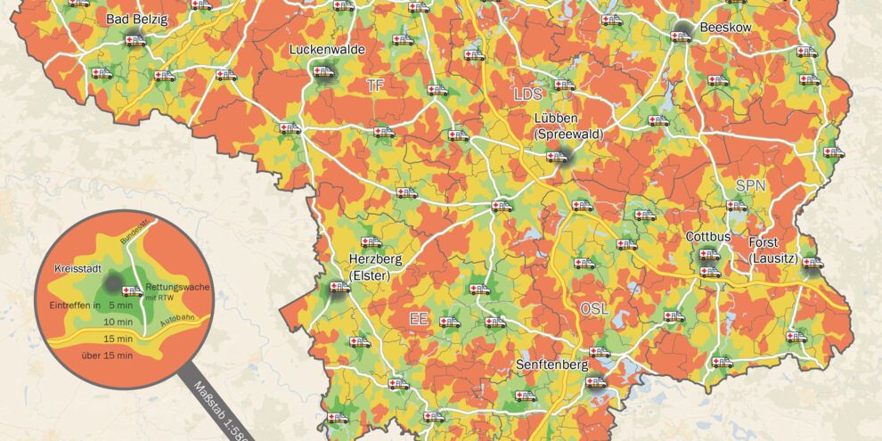
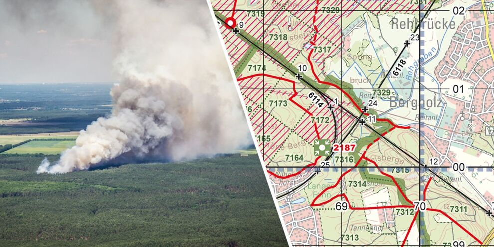
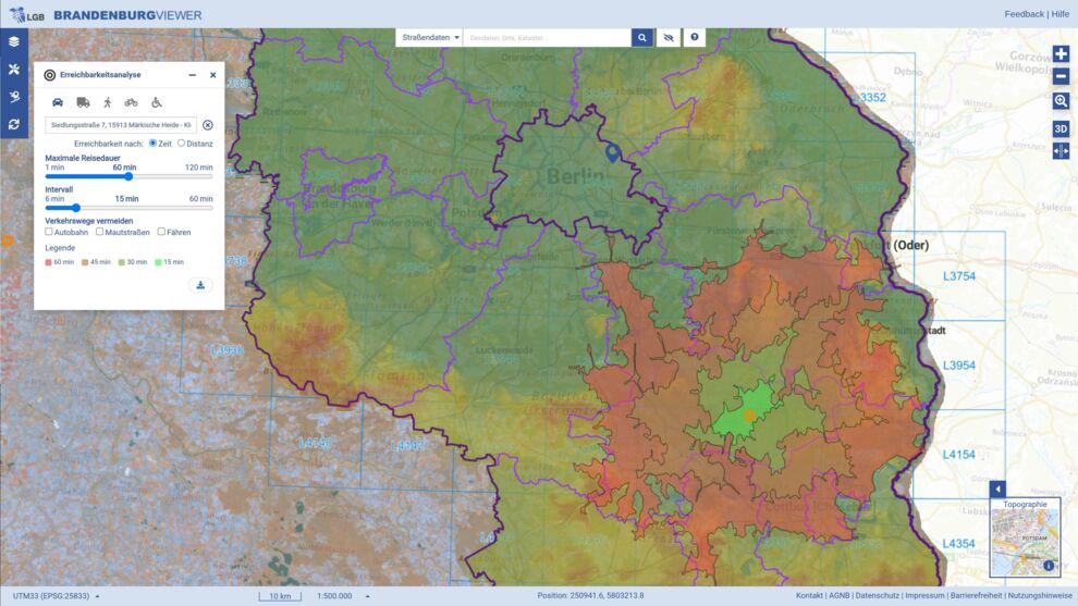
The heart of LGB’s public interaction is a suite of viewer applications like the "Brandenburg Viewer" and the "Geoportal" and dozens of other interactive maps visualising things like road and aircraft noise levels. Each viewer application pulls data from many interdependent backend services, including several from external providers. A portal can look like it’s loading while, underneath, an API, a tile service, or a third-party feed has silently failed.
Classic infrastructure monitoring confirms that servers and services are up. It doesn’t confirm that the user can actually search for a particular piece of land, toggle the imagery layer, or load the map they need. By the time the user raises the issue, the damage is already done.
For me, the strength of our Synthetic Monitoring is showing whether the whole system genuinely works together. The whole band has to play — no single musician can drop out.
Solution
Why Checkmk
With Checkmk and Checkmk Synthetic Monitoring, LGB covers infrastructure and applications from a single platform. User-perspective tests run in the same backend, the same alerting, and the same dashboards the operations team already works in. Infrastructure health and the real user experience sit in one view. The tests cover the full user journey: the map renders, the address search returns results, layers toggle, the right data loads.
Each step of every user journey is defined as a named, human-readable check — called a KPI keyword. A “KPI keyword” describes the thing being tested, not the underlying code. When a test fails, the alert names the exact step that broke, such as "Search For Address" or "Open Route Planner". That alone points the team at the affected component in the stack, often before opening a log. That’s the mechanism behind the team’s day-to-day experience: the named step identifies which service or dependency is responsible, and the unified Checkmk view shows whether the cause is a server, a database, an application, or an external feed — in the same place the alert was raised.
Results
Downtime cut by an order of magnitude
Availability data published openly in LGB’s annual monitoring reports tells a clear story. With Checkmk and Checkmk Synthetic Monitoring, availability on the two flagship portals has climbed — and stayed there.
Both services have remained above the EU INSPIRE 99% threshold every year since 2017, and today sit comfortably above 99.9%. The Geoportal reported 100.00% availability in both 2022 and 2024.
Running infrastructure and Synthetic Monitoring on the same platform gives LGB more than reliability numbers. The team gets one operational view where server health, application behavior, and the real user journey all sit side by side. When a viewer application starts failing, the cause — network, compute, application, or third-party feed — is visible in the same place the alert was raised.
-
Raised availability above 99.9% for nearly a decade
-
Massive downtime reduction
-
Improved visibility across infrastructure and applications
-
QA and Monitoring have shared acceptance criteria thanks to Synthetic Monitoring
-
Reduced time and workload for specialist staff
A useful side benefit: LGB uses the very same synthetic tests as acceptance criteria in their QA. Monitoring and QA now share the same code, the same tooling, and the same definition of “working.”
For an organization whose services the state of Brandenburg genuinely cannot do without, this combination is what keeps the whole band playing. End-to-end visibility, a direct line from alert to affected component, and monitoring that reflects the real user experience.
Availability Improvements (2012 to 2025)
|
Service
|
2012
|
2015
|
Downtime 2012
|
Downtime 2025
|
Reduction
|
|---|---|---|---|---|---|
| Geoportal Brandenburg | 99.7% | 99.99% | ~26 hours / year | 53 minutes / year | ~97% |
| Brandenburg Viewer | 99.6% | 99.97% | ~35 hours / year | ~2.6 hours / year | ~92% |
Synthetic Monitoring repeatedly catches faults before users notice them — a database change that breaks something downstream, for example — and points us straight at the affected component. Troubleshooting that used to take hours now takes minutes.
About the customer

The Landesvermessung und Geobasisinformation Brandenburg (LGB) is the official state geodata provider for Brandenburg, Germany. Established in 2002, the organization employs 260 people and maintains 100 terabytes of critical geospatial data, including topographic base data, cadastral registers, and digital landscape models. Their services are relied upon by over 110 public authorities, disaster-response teams, and farmers.